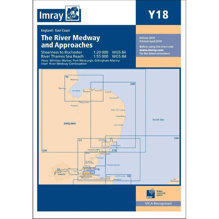





Imray's C1 charts coverThe Thames Estuary from Orfordness down to Ramsgate. The charts show the Thames as far up as Canvey Islands. On this latest edition, the latest depth surveys are applied and there have been minor changes to the Sunk TSS as well as the latest information on wind farm. Furthermore, the chart specification has been improved to show coloured light flashes. Minute gridlines. Scale 1:122,000.
Supplied in a waterproof, folded plastic wallet.
Printed and corrected to February 2021.
Sheet Size: 787 x 1118mm.